Trekking up Agung Mountain will lead you to the summit of Bali's largest and most treacherous volcanic peak, where you can witness breathtaking sunrise views that will take your breath away.
This epic and brutal hike will take you up the steep slopes of an active volcano until you lay eyes on the immense crater itself.
I recently climbed Agung Volcano, and it was one of the most difficult and exhilarating hikes I've ever experienced. There are two main routes to the volcano, each posing its own unique challenges.
This blog will explain how to hike with or without a guide and provide all the information you need to know before departing!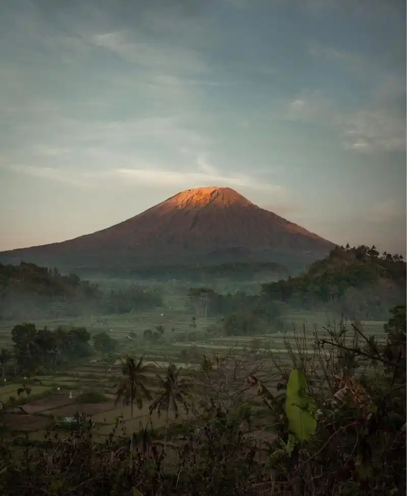
Where is Agung Mountain?
Agung Volcano is located in Karangasem Regency on the northeastern tip of Bali.
It is approximately 1.5 hours by car from Ubud and about 2 hours from Kuta, Canggu, and Sanur.
About Agung Volcano
Gunung Agung (Agung Mountain in Indonesian) stands as the tallest point on Bali, reaching an elevation of 3,142 meters. It is one of the 100 famous mountains on Earth. My wife told me that the name means "The Great Mountain."
Agung Mountain has long been considered the "Center of the World" by the Balinese people and remains sacred in their beliefs. If you hike with a local guide, they will stop along the way to burn Hindu incense and pray.
The Balinese revere mountains as the dwellings of gods, and in ancient times, you couldn't climb Agung without a Hindu priest present.
Eruption History of Agung Volcano
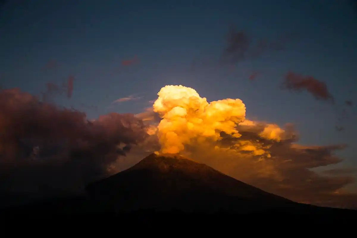
Agung Mountain is an active volcano with several large eruptions recorded in history. In 1963, a catastrophic eruption devastated nearby villages, killing 2,000 people.
The last eruption of Agung Volcano occurred between 2017 and 2019, with the volcano sending ash up to 4 kilometers high, causing chaos across Bali. Over 100,000 local residents in Karangasem were forced to evacuate, and hundreds of tourist flights were canceled or rerouted.
Today, the Indonesian government constantly monitors Agung for any signs of imminent eruptions, and the mountain is closed to hikers whenever tremors occur.
Safety on Agung Mountain
It's evident that hiking Agung Volcano is not without risks. Being an active volcano, there will always be some degree of danger involved.
However, catastrophic eruptions seem to occur decades apart (after long periods of pressure buildup), and most years pass without any significant volcanic activity.
Personally, I find the risk level acceptable, and I would love to hike Agung again someday. However, know your limits! This is a serious hike that requires good mobility.
Over the years, at least six people have fallen to their deaths while climbing Agung, including two in 2024.
Fatalities on the mountain are generally due to poor physical condition/advanced age, bad weather, and/or hiking without a guide.
Is Agung Volcano Open? Current Alert Status
According to the Indonesian government's volcanic survey, as of 2024, Agung Mountain is currently at Alert Level 1 ("Normal").
This is the lowest risk level, meaning the mountain is open for hiking once again! There are no safety barriers to climb around, but remember to check the alert status again before departing.
It's also worth noting that Agung Mountain is closed to hiking during certain months of the year due to Hindu rituals, such as Ida Bhatara Turun Kabeh (IBTK) and Tawur Labuh Gentuh.
In 2024, the ritual dates are from March 17 to April 14 and October 1 to November 30. During these periods, the mountain will be completely closed to hiking.
Best Agung Mountain Tour Packages
Here are Agung Mountain hiking tour packages that you can book online.
They offer sunrise hikes departing from Pasar Agung Temple or Besakih Temple, but it's more cost-effective if you go with a friend (minimum charge for 2 people).
We've arranged many trips and activities around the world with Klook, and it's fantastic. Highly recommended!
Sunrise Hike
Most people hike Agung Volcano at night to reach the summit for sunrise. One of the main benefits of doing this is that the mornings are often clear and cloudless, while the volcano is usually covered by clouds during the day.
Agung Mountain sunrise tours start with very early pickups (around 11 PM), so your guide can drive you to the trailhead for a sunrise hike to the volcano's peak.
This means you'll be hiking in a state of very light sleep (if any), which increases the difficulty of the entire hike. Have you ever tried hiking for 8 to 12 hours on an extremely steep rocky volcano in the dark? Likely, no.
The sunrise hike on Batur Mountain is a great warm-up, as the terrain and mechanics are similar, although Batur is much shorter and easier than Agung.
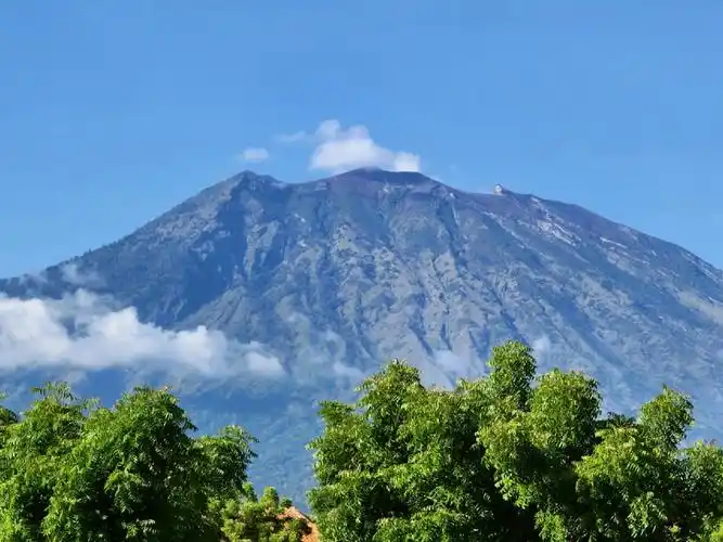
The Agung hike can be divided into three stages:
Stage 1 – A dirt path winds through fern trees, pine trees, and vegetation. There are no real switchbacks, so the entire path is uphill and strenuous, but this is the easiest stage of the hike.
Stage 2 – Leaving the forest, the trail becomes steeper as you traverse boulders, gravel, mud, and dust. This is the longest part of the hike. It feels like it never ends.
Stage 3 – Scrambling up the remaining part of the mountain on all fours. This is the toughest part of the Agung hike, with some sections so steep that they can be dangerous if you're not careful. A good headlamp and guide are necessary here.
My wife, bless her heart, gave up shortly after we left the forest. She was too tired to continue, the path was becoming more dangerous, and the wind was terrible that day (late August). We agreed to let the guide accompany her for safety while I continued alone toward the summit in the dark.
With my weak headlamp and the late sunrise, my mood was even more urgent. I'll never forget the moment: I was gripping the side of a steep volcano, half-asleep, exhausted, when the sky turned orange, and I realized I was towering above the clouds.
It was a truly special moment.
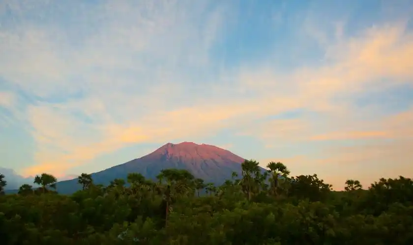
Hikers on Agung Mountain in Bali
Towering above the clouds. This is one of the less steep sections near the end.
Ahead, the enormous 900-meter-wide, smoking Agung crater, where you can peer over the edge.
Be careful where you step, as there isn't much space to walk on the summit, and people have fallen into the crater. You don't want to be a sacrifice to the gods.
The view from the summit is breathtakingly beautiful. Looking east and west, you can see the distant Mount Rinjani and Abang peaks, as well as the giant Batur crater in Kintamani. Looking south, you can see Kuta in the distance.
The beauty of the Agung hike far outweighs the difficulty and sense of accomplishment of reaching the summit.
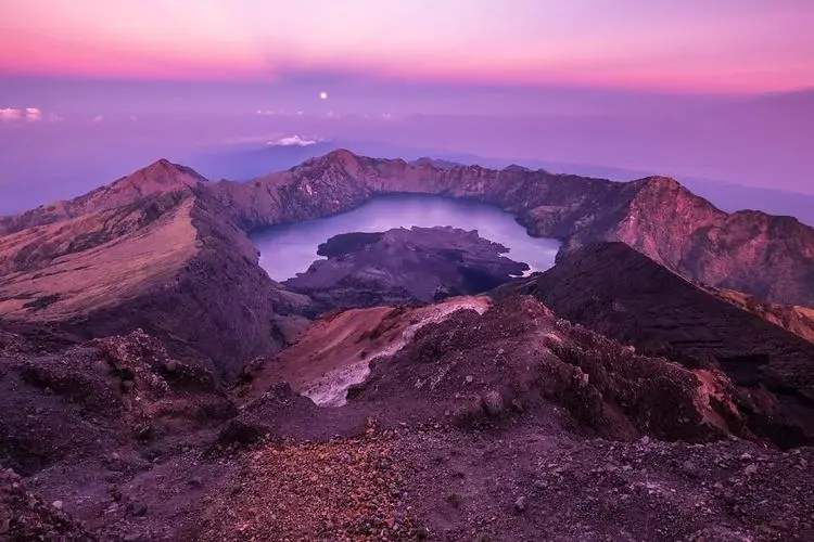
Hikers at Agung Crater in Bali
On this day, the crater rim was crowded with locals climbing Agung.
How Tough Is It?
The Agung hike is incredibly tough. Very brutal. Compared to Batur Mountain, Agung is a beast of a different league. The Agung hike is several times harder than Batur.
You don't need to be a mountain climbing expert to complete this hike, but mere physical fitness isn't enough. You must also be determined. Depending on the route you choose (see below), the hike can take up to 12 hours round trip, and you'll be ascending to an altitude of 2,150 meters (7,000 feet). It's insane.
The final stretch of the hike is extremely steep, with some sections where you'll be scrambling nearly vertically in the dark. There were times I seriously considered turning back, which is unusual for me.
For reference, I've hiked up nearly a dozen "14ers" in Colorado, illegally climbed "Stairway to Heaven" in Hawaii, hiked the Kalalau Trail, Half Dome, and other notoriously difficult trails, but Agung is still one of the toughest hikes I've ever done.
After the hike, we each ate two meals, rested at our hotel in Amed, and slept for 16 consecutive hours. For days, we could barely walk.
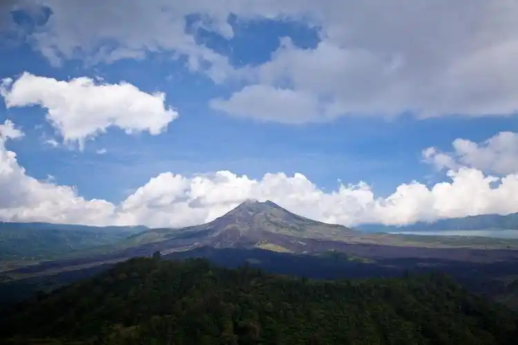
Hiking Routes – Besakih Temple vs. Pura Pasar Agung
There are two main routes to hike Agung Mountain. One starts from the famous Besakih Temple, and the other from a smaller temple called Pura Pasar Agung:
Besakih Route: This is the longest route. With an elevation gain of 2,150 meters (7,000 feet), the round-trip hike takes 12 hours. This route takes you to Agung's true summit at 3,142 meters (10,308 feet).
Comment