The Blue Lake Trail in Colorado stands as one of our favorite day hiking routes! This moderately challenging hike will lead you to a scenic alpine lake with perfectly turquoise waters, followed by the pristine Middle and Upper Blue Lakes surrounded by majestic mountain peaks.
You can embark on this day hike from Ridgway, Ouray, Telluride, or other popular areas in Colorado, without the need for a long drive from these locations. This guide will cover every aspect of the Blue Lake hike, from the trailhead to the Upper Lake!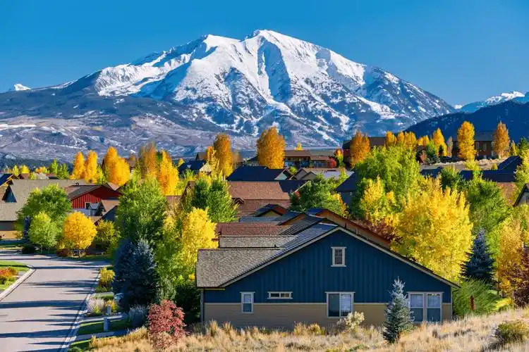
What to Expect on the Blue Lake Trail:
The Blue Lake Trail in Colorado offers a scenic journey through three different lakes and picturesque passes. Most people only venture to Lower Blue Lake.
This trail is highly popular among day hikers and backpackers, so weekdays are ideal if you want to avoid crowds. During summer weekends, many people camp at Lower Blue Lake.
The difficulty of the hike varies depending on how far you go. I find the first lake to be moderately challenging (also suitable for dogs), but the second or third lake adds significant difficulty. Bring plenty of water and snacks.
The following sections will introduce the various parts of the Blue Lake Trail and the views you can anticipate. The entire hike is well worth it!
The start of the Blue Lake Trail is similar to most hiking trails in Colorado: a slow and steady journey through pine forests and meadows, with occasional views of distant mountains.
After an hour of hiking, the views begin to open up, and as you near the first lake, you'll see a beautiful waterfall on the left.
Lower Blue Lake is absolutely breathtaking, with its crystal-clear turquoise waters surrounded by mountain peaks. It must be one of the most perfect blue lakes in Colorado!
Take some time to walk around the lower lake and admire it from various angles. We spent hours taking photos here after sunrise, and you can also swim in the lake, although the water may be a bit chilly.
The turquoise hue of the lake is as impressive in person as it is in photos, although sunlight plays a significant role. On cloudy days or early mornings before sunlight hits the lake, the colors are less vibrant.
The photos you see on this page were taken in mid-August in the morning, without any photo editing or saturation added!
After enjoying the glassy shores of Lower Blue Lake, you must see what it looks like from above! Additionally, there are two more lakes on the same trail waiting for you to explore.
Return to the wooden sign marking the intersection of Lower and Upper Blue Lake trails, and turn left from where you initially entered. You'll have to cross a small creek, but there are usually enough rocks and logs to cross it without getting wet.
After crossing the creek, the path is unmarked and can be somewhat confusing. You need to head northeast up the slope of the rocky basin, where many trails converge in the same direction. Following any of them should be fine.
Compared to the first part of the hike, the climb to the second (middle) lake is steeper, but you can enjoy breathtaking views of the first lake from above, along with many wildflowers (mid-July to mid-August).
Middle Lake is the smallest of the three, and it doesn't have the turquoise color of Lower Lake, instead appearing to shift from green to deep blue as you walk higher above the lake.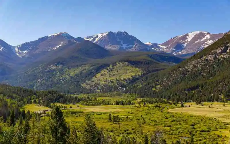
Lower to Upper Trail Sign:
This sign marks the intersection of the Lower and Upper Blue Lake trails. Turn left here to head towards Upper Blue Lake.
The walk from Middle Lake to Upper Lake is straightforward and takes less than 15 minutes.
Upper Lake has a different shade of blue compared to the other two, but its waters are incredibly clear, like glass! There are also far fewer people here than at the first lake.

After reaching Upper Lake, continue hiking along the trail on the left side (north side) of the lake towards Blue Lake Pass.
The final stretch to the pass is a steep and challenging zigzag trail up a rocky path. It's not too dangerous but is the most difficult part of the Blue Lake hike, and most people turn back rather than heading to the pass.
The total one-way distance from the Blue Lake Trailhead to the top of Blue Lake Pass is approximately 6 miles, with a vertical elevation gain of 3,650 feet. Quite a long journey!
At the top of the pass, you'll be rewarded with breathtaking views of the entire Blue Lake Trail below and the Yankee Boy Basin to the east of the pass.
From here, you can return to the Blue Lake Trailhead along the same path or attempt the challenging climb up Snefels Mountain (14,156 feet), but this is a Class 3 route and requires some research and experience before attempting it.
How to Get to the Blue Lake Trailhead:
The main Blue Lake Trailhead is located in Ridgway, Colorado. You can click on either of the following links to insert it into a map for navigation:
Main Blue Lake Trailhead: 38.02200152751049, -107.81835071502937
Alternate Blue Lake Trailhead: 37.99592041602135, -107.78459542282823
The best starting points for this hike are Ridgway, Ouray, or Telluride. The northern Blue Lake Trailhead is about a 45-minute drive from Ridgway, a 1-hour drive from Ouray, and a 1.5-hour drive from Telluride.
You can also hike in reverse, starting from the southern trailhead in Yankee Boy Basin, but this route may not be suitable for most hikers as it makes it harder to access the popular Lower Blue Lake.
Conditions at the Starting Points:
Most roads leading to the Blue Lake Trailhead are in good condition and accessible by any vehicle during summer.
The last few miles do become increasingly rugged, so having higher ground clearance can be helpful, or you may have to dodge some potholes or park slightly farther from the trailhead.
When you arrive at the trailhead, you'll find an arch toilet, some informational signs, and a trail map.
As always, remember to keep the path clean, consider other hikers, and leave no trace. Thank you, and have a great hike!
Comment